The Mystery of Big Island (Part Two)

Almost three months ago to this day, readers, I introduced you to a local puzzle that I was hoping to solve. Big Island, to catch you up, is a modest chunk of river valley wilderness with a backstory that both intrigued the explorer in me and piqued the curious pathfinder that lives in the uncaged corners of my soul.

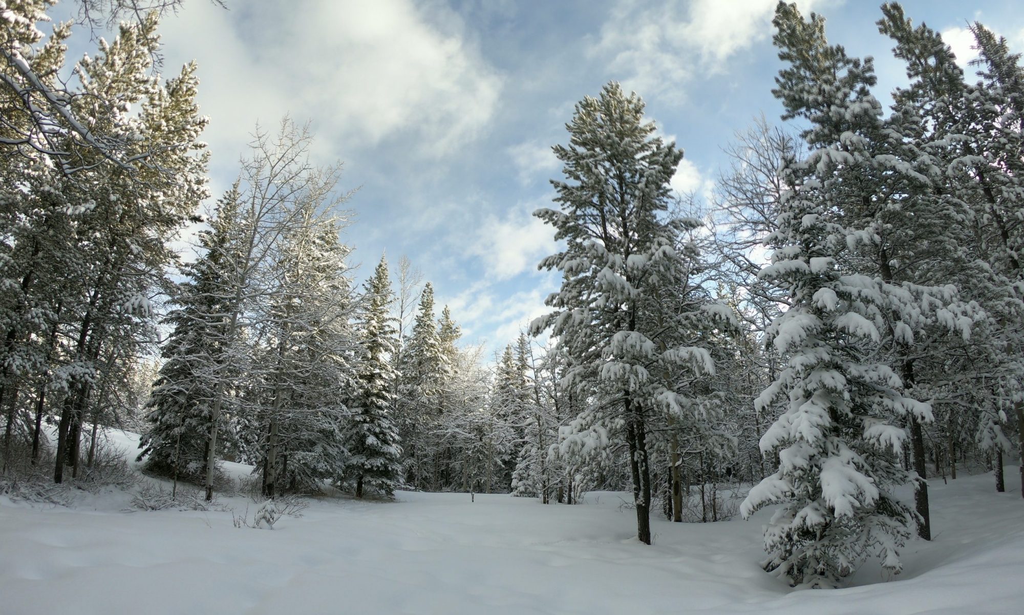
I live a short(ish) walk from the winding North Saskatchewan River, a silty mountain-fed prairie waterway that snakes its way across the province and bisects the city in which I live.

If you recall, the city leaders have built policy around the idea of preserving what they term a “ribbon of green” that is our river valley. They do this as a system of trails and public parks rivaling the accessible and recreational natural areas of most cities around the world. In fact, many locals often use the comparison to NYC’s Central Park of which Edmonton’s river valley is approximately twenty-two times the size, but spread across nearly fifty kilometers of riverbanks. Of course, preserving a public green space in the middle of Manhattan is a whole different scale of forethought compared to us just avoiding putting some suburban houses on the unpredictable steep cliffs and sandy soil sides of a prairie river, but don’t say that too loudly if you come to visit our river trails.

I’ve had it in my head to explore south of this preserved system and beyond the city borders, particularly so when I learned that a few kilometers past the so-called “end of the trail” is an oxbow formation in the land, a place where the river once sharply bent and carved off a little bubble of land but has long since shortcut and left a quasi-island nestled into the edge of the same river valley.

I’ve got maps and diagrams to explain all this in part one, and it is where I also explain that this little oxbow island, named Big Island, has a long secret local history and is now slated to become officially protected with a provincial park designation.

All this, and yet no one really knows how to get there.

Of Adventure Runs

Having discovered that such a mystery exists, I got it into my head to find a way to visit.

This past Wednesday evening I proposed an adventure to my running crew. Each Wednesday over the summer, after all, we meet to do an exploration run of some bit of local trail that few of us have previously visited. I asked, with couched expectations, if anyone was interested in trying to find a trail to Big Island.

There were five of us who broke from the even, clear asphalt shortly after seven that evening, and climbed into a narrow stretch of single-track trail leading into the river valley woods along a route I’d often seen but never travelled.

The heat was still lingering with a sweltering, humid hot that made the rolling trails even more of a challenge than they should have been. Yet, the rough trail, unchecked by anyone but the more hardcore of local adventurers, was mere scrambles of dirt and roots and bits of low vegetation swatting our ankles as we ran by trying not to trip or stumble down a steep bit of path and often grabbing onto trees or branches to keep from a fall.

This path towards Big Island was not well-worn.

And in fact, this turned out to not be a path to Big Island at all.

With our phones in hand we plotted our location in the GPS map comparing our real time adventure to a satellite map of our intended destination. We estimated that at our nearest we were merely five hundred meters away from the shores of Big Island. But the path degraded into near non-existence, become a dense shrub-lined fox run at best, and at worst an anthill-infested maze not intended for a bunch of ill prepared runners in running shorts on a weekday evening schedule.

We turned back, unable to reach our destination on the first attempt, everyone a bit disappointed but beyond fine with the adventure and attempt. Meanwhile I secretly plotted how part three of this mystery might unfold. Someday.

Local Wayfinding

We often joke with the running crew that among the group a few of us seem to have GPS chips in our brains: we’re really good at find routes and getting un-lost.

But for those less gifted in the skillful navigation of unmarked paths, finding one’s way through the trails and wild spaces of the city can be a unique challenge and intimidating enough that some might choose to stay home rather than attempt it.

This is why I’ve been delighted to see some new wayfinding signs appear on the paths near my house.

Just a few weeks ago we ran by some concrete footings that were being installed for these new trail markers. I went for a walk this morning and a new trail marker with some basic navigation and trail information had been installed.

Clear maps.

Simple icons.

Distances and destinations.

Signs like these make it more clear that these spaces are meant to be explored and enjoyed, a symbol that is not always clear to everyone who lives here. Some people may be intimidated by the ribbon of asphalt that disappears into the trees. Still others may be newcomers to the city or even the country and not understand that trails like these are meant for all to enjoy.

Wayfinding serves many purposes, but even for those of us who have built-in navigation instincts, they make these natural recreational spaces easier to enjoy when everyone can enjoy them together.

How to Plan a Local Adventure

So you’re stuck at home during travel restrictions but still need something exciting to do close to home. I don’t know where you live, but adventure lurks nearby if you know how to plan for it.

Choose Your Activity

I needed a good excuse to keep running…

…but, last year as the pandemic restrictions ramped up, the running store (where we’d been meeting and running from) shut it’s doors. It was geographically convenient and had ample parking. Plus everyone knew to meet there on certain days and times so that we could run together.

The simple approach might have been to just keep running as we were, meeting from a parking lot, and for many runs over the past year we did. Yet, I wanted something more, and I suspected a lot of the crew might start to get bored and go off on their own plans if nothing more exciting happened.

Invent a Concept

Instead of panicking or just running solo, I decided it might be interesting to find somewhere new and interesting to run as we no longer had any good reason to keep running from a closed-up retail store. I also decided I’d like to see more of the city trails that I had never bothered to check out because they were not particularly reachable on a short run distance from that store.

I called it adventure runs.

Plan a Goal

A running adventure sounds like a self-evident concept, but in fact it encompasses so much potential… and potential for disappointment.

I was working full time (I still am) and didn’t have time nor motivation to sit down and plot out full miniature courses each week through locations I’d never spent much time traversing.

Instead I set the goal as something simple: if we ran somewhere new, down a new path, in a new neighbourhood, and saw something or somewhere we’d never seen (or hadn’t seen in a long time) then the adventure run was a success.

Pick a Starting Point

The second part of that concept was picking a good starting point.

It had to have access to trails. There needed to be enough parking (since we could not carpool during the restrictions and transit was still not running at full capacity.) Later in the summer a nearby ice cream shop or coffee stop was requested for afterwards. And of course, it had to be somewhere that felt remote-ish or like we were about to embark on some crazy adventure.

Invite Willing Participants

The gimmick then became about the mystery and the invite.

We have a group chat that has been around for years with a tight knit group of runners who have often been up for exactly this kind of adventure.

I would keep the suspense up. Eventually, as the summer progressed, folks would ask in the lead up week “where is the adventure run this week?” or “what are you planning for Wednesday night?”

The rule quickly followed: “The plan would be announced the morning of the adventure run. Keep your calendar open and check your messages.”

Show Up

On our best days we had as many as a dozen or more people show up.

I always did.

Rain or shine.

If I felt like leading a run or not, I was there.

And this morning, the first good spring Wednesday post-restrictions, I just sent out that notice once again.

Season two of the adventure runs, by enthusiastic request, start tonight.

Weekend Walking Clifford E. Lee Nature Sanctuary

The Canadian prairies have a long and storied history that has been felt through the countless ecosystem changes in flora and fauna, and punctuated by the lives and actions of a handful of various peopled cultures that have lived and settled here for some recent thousands of years.

I state it in this particular way to draw attention to the very idea of a nature sanctuary.

A nature sanctuary is a space that has been set aside for the specific purpose of drawing a line around a bit of the map and deciding, as much as it is possible, to pause the progression of history or preserve a piece of it.

We drove to the nearby Clifford E. Lee Nature Sanctuary on this recent sunny Sunday afternoon to wander the trails here and enjoy the day.

The parking lot was full to overflowing.

The sun was hot but the breeze pushing through the trees was still carrying the coolness of late spring.

I turned on my camera.

Located 33 km southwest of Edmonton’s city centre, the Clifford E. Lee Nature Sanctuary protects 348 acres of marshland, open meadow, aspen parkland and pine forest. The varied habitats of the Sanctuary attract a diversity of animals, including more than one hundred bird species, and provide excellent opportunities for wildlife viewing.

This particular nature sanctuary was a space that was new to me. I’d never made the trip out here previously.

There is a particular patch of wilderness here. It is crammed between the city-proper to the east, a trans-provincial highway to the north, and the twisting North Saskatchewan river to the south.

The land is a mix of marsh and forest and seemingly poor agricultural space because it is speckled with acreages and nature preserves and the local University’s botanic gardens.

There is a local ultra marathon that runs annually through the “river’s edge” tracing along the bottom of the above map tempting local runners with an eclectic single-track adventure on trails regularly inaccessible except with permission of the land owner.

And when I was much younger, the scoutmaster of my troop knew of a bit of land (or likely knew of someone who owned a bit of land) in this area where we frequently winter-camped as teenagers.

In short, when I think of nearby wilderness, it is this block of a few hundred square kilometers that often jumps into my mind first.

The nature sanctuary itself was only established in the late 1970s, and set aside as a block of land that has been expanded and shifted stewardship over the years.

It was hardly a pristine snapshot of undisturbed local wetland history however. The space has a multi-kilometer elevated boardwalk, picnic areas, bird houses and bird feeders, viewing platforms, plastic toilet boxes, and meandering families straying from the designated paths and being humanly-terrible by littering and trampling.

Yet an imperfect preservation is better than no preservation.

There were countless birds (and baby birds.) The elevated boardwalk was a photographic splendour. The marshland failed to excite my teenager, but I could have stood there for hours and watched the life in and around the murky waters. And spring was in its full groove on Sunday, new foliage popping from the trees, ground and swamp.

This nature sanctuary is a space that seems to have been set aside for the specific purpose of drawing a line around a bit of the map and deciding, as much as it is possible, to pause the progression of history or preserve a piece of it.

Resource extraction sites dot our landscape. Hundreds of houses hide in the woods on small plots of land just out of reach of the city. Roads and highways twist through the countryside. Jumbo jets climb into the sky on their way to explore the world as they take off from the international airport runway a few dozen kilometers away.

It has been preserved for not just Sunday family walks in spring, but to draw our attention to the long history of these spaces, to help us recall the wilderness that was and the future we might want to recapture.

If nothing else, it’s a nice place to escape the city for a few hours.