I had other writing plans this morning, but a mystery has been unravelling in my own backyard that has piqued and diverted my interest for an upcoming summer of potential exploration.
Backstory.
I live near the mighty North Saskatchewan River, a twelve hundred and eighty-seven kilometer long ribbon of glacial water that flows, stretches and merges with it’s sister as it’s waters drip off the glaciers of the Rocky Mountains and eventually drain in the Hudson’s Bay.
I can walk a mere thirty minutes from my house and dip my feet in it’s brown hued muddy waters and I often do…. though the wet-feet part is not always on purpose.
I took this photo from a footbridge suspended under a highway river crossing. The city’s ring road cuts across the river twice, and this bridge located in the southwest is one of those spots. The bridge also marks an interesting point in the city’s remarkable river valley parks system: the south-side edge of where it is uniformly accessible. Behind me in this shot is a network of maintained asphalt trails, benches, waste bins, signage, and friendly fellow residents enjoying the the park system.
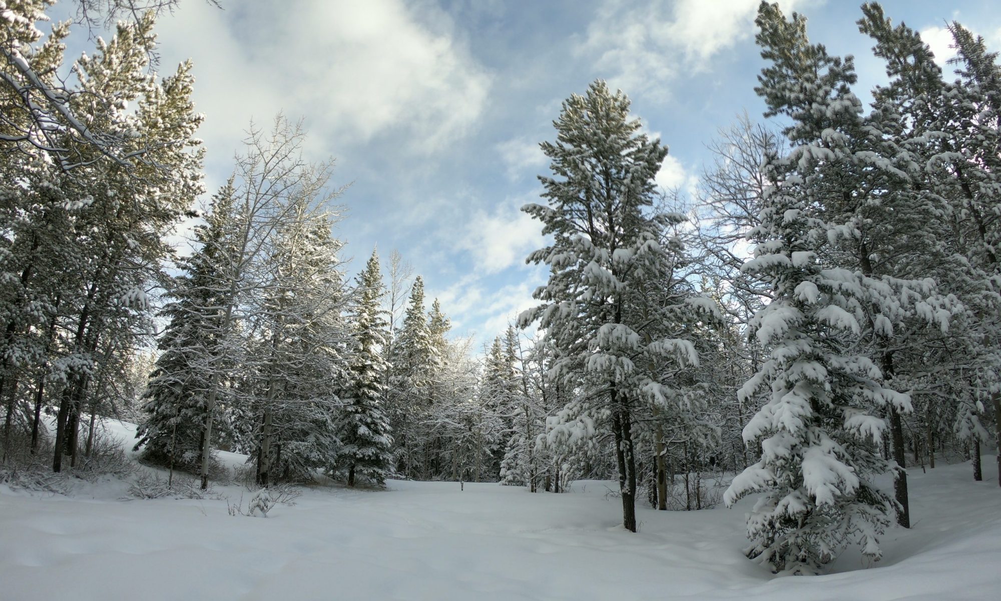
Ahead of me, in the trees pictured, the trails look more like this second photo:
Much of this is a mix of crown land and private property, often merging and tripping over each other in unclear boundaries. I’ve walked and run through there a few times.
It’s as close to local bushwhacking adventure as I can get on foot and still be home for lunch.
Big Island.
Go back to look at that first photo.
The wedge of trees that seems to slice across the river (where the river actually bends South a bit) is a piece of land that is called Big Island and apparently has something of a local history. You can also read more about it at citymuseumedmonton.ca.
The green arrow highlights the view of the photo from the bridge I had referenced earlier.
I fully admit, I’ve been curious about these parts, and have wandered through the woods with my cameras (particularly through those trails on either side of the arrow I’ve drawn on the map) looking for something interesting.
However, renewed local chatter in the last few days that our provincial government may be working to designate Big Island as a protected provincial recreation area has me digging deeper into this mystery: the Mystery of Big Island (and why after fifteen years living so close I have never gone to check it out!)
I think I might officially have a summer exploration project. Visit. Take some photos. Learn more about this amazing local treasure that has been hiding right under my nose.
Stay tuned!