Boston Pi (Virtual)

Most everyone I know in the running community knows that in addition to Canadian thanksgiving, this weekend is also the Virtual Boston Marathon.

At least five people I know signed up for the race, which thanks to the pandemic was a once in a lifetime opportunity to run through your own streets, track it on the Boston Marathon app, and call it an official run.

I did not sign up.

… but I did go out on the dawn trails with a trio of friends who had signed up to run the pandemic version of the famous race.

When three of us tag-alongs met up with them early on Saturday morning near a local park, the sun was just peaking over the horizon and they had been at it for almost ten kilometers already.

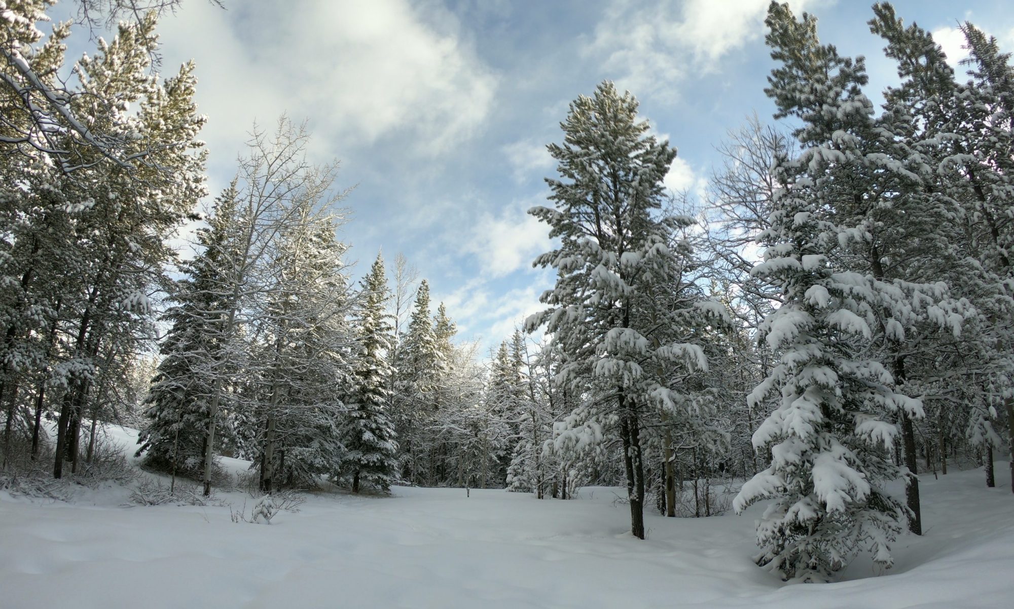
We trotted into step with their route, followed it as it wend its way along the river, up in the neighbourhood, down into a local recreation area, and around the back side of a golf course. After about eight kilometers of support running, we turned back to where we’d left our cars … and ultimately logged just over thirteen klicks total even as we zoomed past a half dozen other virtual Boston’ers with their race bibs or support cyclists or multi-coloured tutus plodding along with fierce determination through the morning trails.

Our thirteen was not quite a marathon. Obviously. Not even quite a half marathon. I later calculated that my logged distance of 13.43 km as per my GPS watch, worked out to almost exactly one pi of a marathon. Weird. After all, forty two point two kilometers divided by thirteen point four-three kilometers equals three point one-four, or pretty much as close to one pi of a marathon as my technology can measure.

Mathematics and adventure collide on a Saturday morning in a curious way, it seems.

And then the event ended, and we cheered in the actual racers across the finish line via text message, as they completed their virtual distance … and won their real medals.

Half Ha Ling

This month marks a year and a half since our local area got caught up in the global pandemic that, among many other things, made world travelling near impossible.

We’ve made up for this by trying to find some room between the bad news, ever-shifting-work-life, and many cancelled plans to get away on some local escapes.

This summer was no exception, and over my blogging break we found ourselves in Canmore, a small town nestled into the Eastern edge of the Rocky Mountains, where numerous small adventures were had, including a certain last minute attempt to climb a very tall mountain.

for whatever one photo is worth:

Stand on the main street of Canmore, Alberta and look towards the towering range of mountains standing to the south of town and you wont help but see a prominent jag of rock protruding high into the sky, standing with a sentry-like pride over the valley below.

That peak had borne many names over the years and stirred it’s share of controversy for the same, but locals now almost uniformly refer to it as Ha Ling Peak.

We spent the better part of a full week in Canmore in July.

We’d rented a small hotel room near the center of town.

We wandered on foot to grab groceries or breakfasts or beer or silly thing tourists buy when they visit small towns on vacation.

We loaded up the car to drive into the wilderness to tackle family-friendly hikes with the puppy and the teenager.

We hiked, relaxed, and ate, avoiding the heat and smoke as much as possible, while trying to make the best out of a local vacation in an admittedly beautiful place to be trapped during a global lockdown.

On the last night of our trip, sitting on a patio eating an early dinner, looking down that same main street, my wife asked me if I’d done everything I’d wanted to on our little family getaway.

”I’d like to climb Ha Ling … someday.” I replied. “But I guess we’re out of time.”

Most people set aside a full day, starting early to climb to the eight hundred meter saddle, and a further slog up to the summit and peak. It was just after five pm and we had at best four hours or daylight left.

“How far could we get tonight?” She asked.

”I’m staying at the hotel with the dog.” The teenager objected.

”We could go up as high as we can and give ourselves an hour to come back down before sunset.” I suggested.

Shortly after six my wife and I were standing at the trailhead in our hiking boots.

There are inherent risks in trying a new trail of moderate difficulty outside of the normally travelled hours. If something goes wrong while you are up and alone on a mountain with an encroaching night… well, that’s bad news.

We knew we wouldn’t reach the summit, but being fit and adventurous we gave ourselves two hours to go up as far as we could then come back down. We agreed: we’d hike until my GPS watch read exactly one hour then we’d turn around and hike back down leaving a good thirty to forty-five minutes of cushion for the sun to set behind the mountains.

And off we went.

About thirty minutes in we’d reached the first viewpoint.

At exactly an hour I could see the second a hundred meters or so ahead on the path.

We reached the half way point up the mountain and a few minutes over the half way point of our agreed time. We took a blurry selfie with light failing on the the smoky vista behind us. And we hiked back down along the slippy path, found the car, and were back at the hotel before the last sliver of sun had vanished behind the rocky crags in the distance.

It may have only been half a goal but it was easily a full adventure.

Reminder: Blogs are not a replacement for professional advice. Please read my note on safety and safe participation.

Local Wayfinding

We often joke with the running crew that among the group a few of us seem to have GPS chips in our brains: we’re really good at find routes and getting un-lost.

But for those less gifted in the skillful navigation of unmarked paths, finding one’s way through the trails and wild spaces of the city can be a unique challenge and intimidating enough that some might choose to stay home rather than attempt it.

This is why I’ve been delighted to see some new wayfinding signs appear on the paths near my house.

Just a few weeks ago we ran by some concrete footings that were being installed for these new trail markers. I went for a walk this morning and a new trail marker with some basic navigation and trail information had been installed.

Clear maps.

Simple icons.

Distances and destinations.

Signs like these make it more clear that these spaces are meant to be explored and enjoyed, a symbol that is not always clear to everyone who lives here. Some people may be intimidated by the ribbon of asphalt that disappears into the trees. Still others may be newcomers to the city or even the country and not understand that trails like these are meant for all to enjoy.

Wayfinding serves many purposes, but even for those of us who have built-in navigation instincts, they make these natural recreational spaces easier to enjoy when everyone can enjoy them together.

Winter Reprise Surprise Run

Sunday Runday, and yesterday morning I did some work in the yard, took the dog for a lovely spring walk, sat in the grass, cleaned up some flower beds, and generally enjoyed the spring.

This morning we met for a run on icy sidewalks and through ankle-deep snow.

These woodpecker winter days are nothing too surprising for anyone who has lived here very long. The gentle-jabbing joke that quickly circulates on text threads between local friends is “ok, who put their snow shovels away for the winter! It must be your fault!”

So, surprise… no.

But it is still very much a shock to the system when one is expecting something slightly warmer when planning a spring run.

I’d already cleaned up and packed away all my winter running gear. The mitts, hats, heavy jackets all tucked into the closets once again. The shoe spikes hidden away for next winter.

Maybe it was my fault the snow came back for a reprise.

We immediately made for the trees and escaped the icy city streets dropping into the river valley trails. The snow was deeper there but the ice was far less dangerous.

The snow storm had blown in quickly and aggressively, dropping a near-horizontal storm on the whole region. Somewhere between five and ten centimeters of fresh white powder covered the ground and then also the west side of everything. Wind. Horizontal snow. It sticks in unexpected places. The fluffy white kiss of winter’s last gasp clung to the trunks of trees and every branch of every tree creating a magical scene along the trails.

I spent almost as much time snapping photos as I did running.

As much as we’re used to a fresh snowfall here, it never ceases to be a breathtakingly beautiful opportunity to inhabit these familiar spaces as they are temporarily dressed in an all-encompassing snowy veil.

And temporary is the key word.

Even on the loop back I could see the melt begin.

Have you ever felt that sensation of momentary awe when you witness some bit of slow-motion nature happen in real time. Like, when you walk through the woods and a branch tumbles to the ground from high up in a tree. It has been growing there for years attached to the trunk of an even older tree, and then in that one moment as you pass by it happens to reach a critical tipping point between gravity and connection, and it falls down to the ground.

This morning was like that, except in high speed clumps of snow were loosing from their grip on the woods, tumbling through the lower branches and releasing a puff of snow as they crashed to the ground, here, there, here, over there, and there too.

Even the slippery city walks had mostly thawed as we returned to our vehicles and stopped our GPS watches for another successful Sunday run.

And by next Sunday, likely as not we will be back to treading through familiar spring trails and snowy paths will be just another week gone by.